


2


| Thumbs Up/Down |
| Received: 20,147/383 Given: 38,422/1,574 |
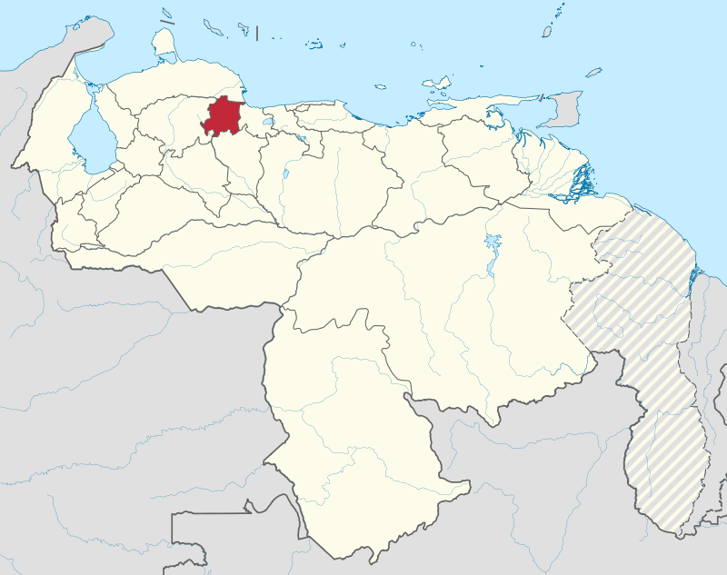
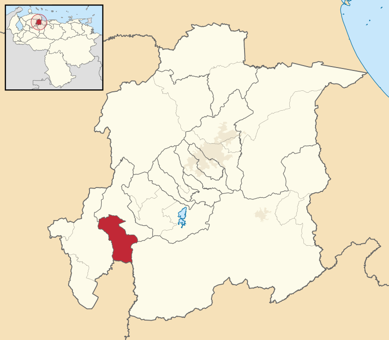
Location of Yaracuy state within the Venezuelan territory:
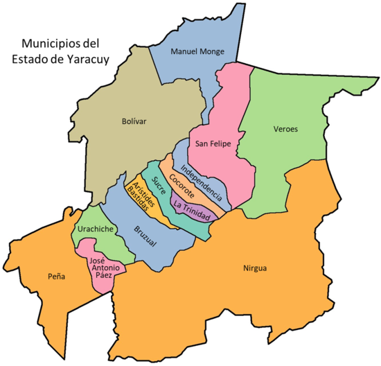
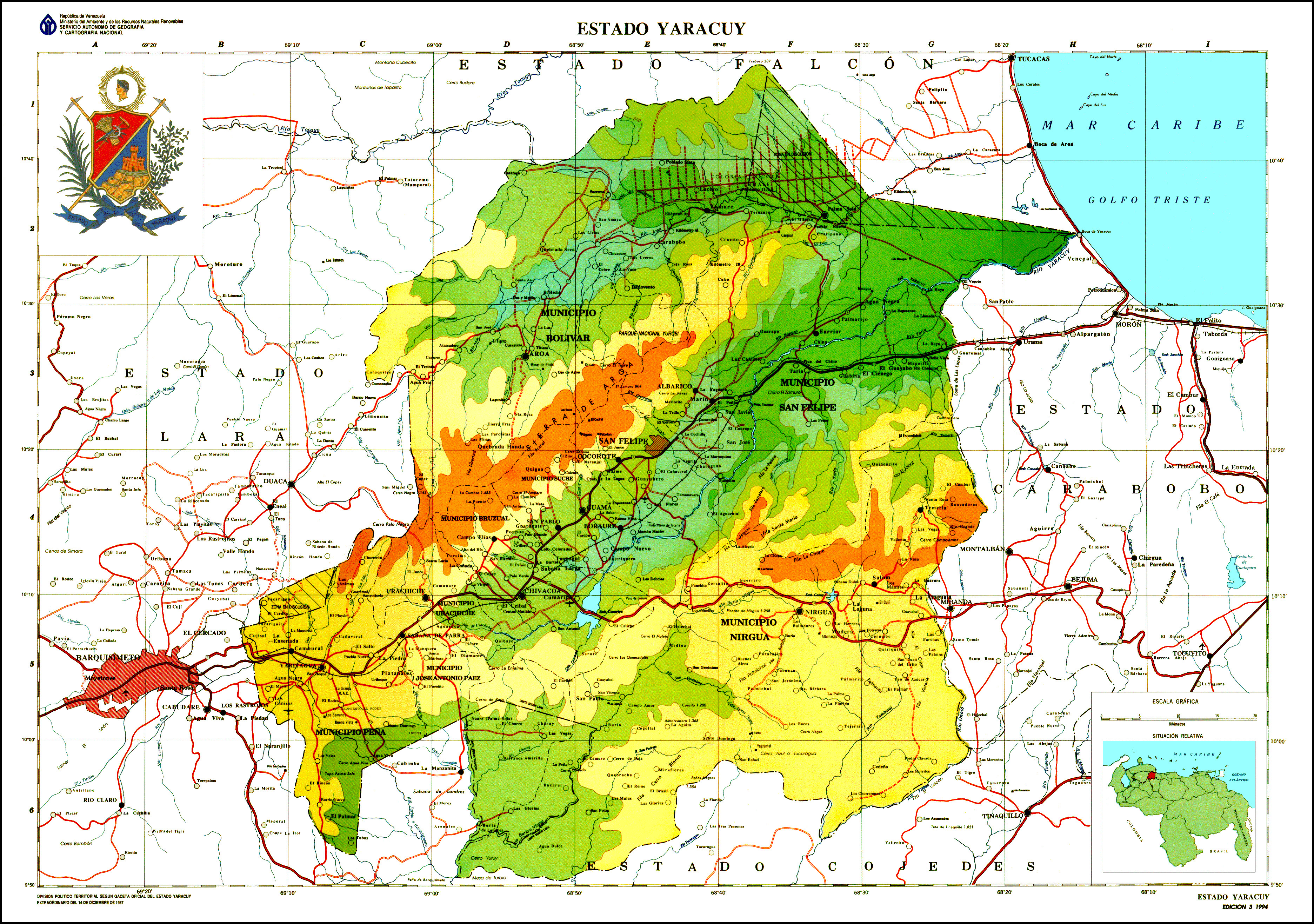
Map of the different municipalities of the state, in case somebody is interested to look up the exact location of pics and videos:
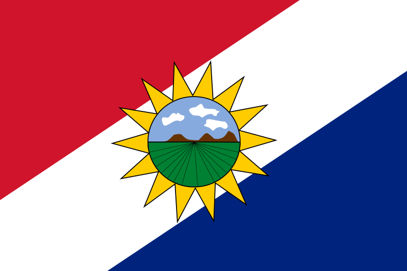
State flag:
State coat of arms:
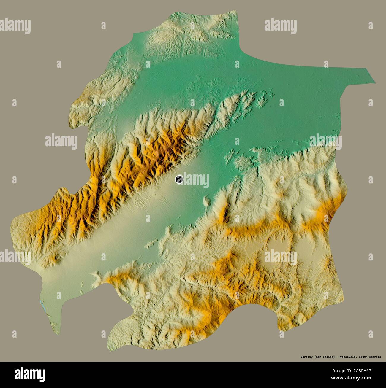
Relief maps of the state. I didn't know which one was better. One of them shows more details, including state roads and populations, but the other marks better and more sharply the relief details. So I posted them both. The area, in the very north of the state, marked with vertical lines in the first relief map, is an area in dispute with the neighboring northern state of Falcon:
Area: 7,100 km2 (2,700 sq mi)
Population: 785,125 inhabitants (2015 census)
Average altitude: 267 meters above sea level
Capital: San Felipe (220,786 inhabitants, 250 meters above sea level)
Yaracuy state is located in the Venezuelan central western region. It limits to the north with Falcon, to the south with Cojedes, to the east with Carabobo, and to the west with Lara. Is in the area of Venezuela where the Andes range ends and the coastal range begins. It is split between two main mountain systems, the sierra de Aroa in the West/Northwest (which is a branch of the sistema Coriano, a mountain system consistent in several small mountain ranges that is mostly split between the states of Lara and Falcon, but this sierra in Yaracuy is also part of it), and the Nirgua massif, or sierra de Nirgua (which is the westernmost end of the coastal range that comes from Miranda, Aragua and Carabobo) in the southeast. In between lies the agricultural land drained by the Yaracuy River. Most cities and towns are in this valley, including its capital San Felipe. There is a third mountain range, Bobare, in the very northwest, which is also part of the corian system, with the Aroa river valley between the range of Bobare and the Aroa range.
The economy of Yaracuy is mostly agricultural (sugar cane, corn, cattle raising). Some manufacturing can be found in Yaritagua area and Chivacoa (southwestern parts close to Barquisimeto (Lara)), usually in agribusiness.
Relief (from wikipedia):
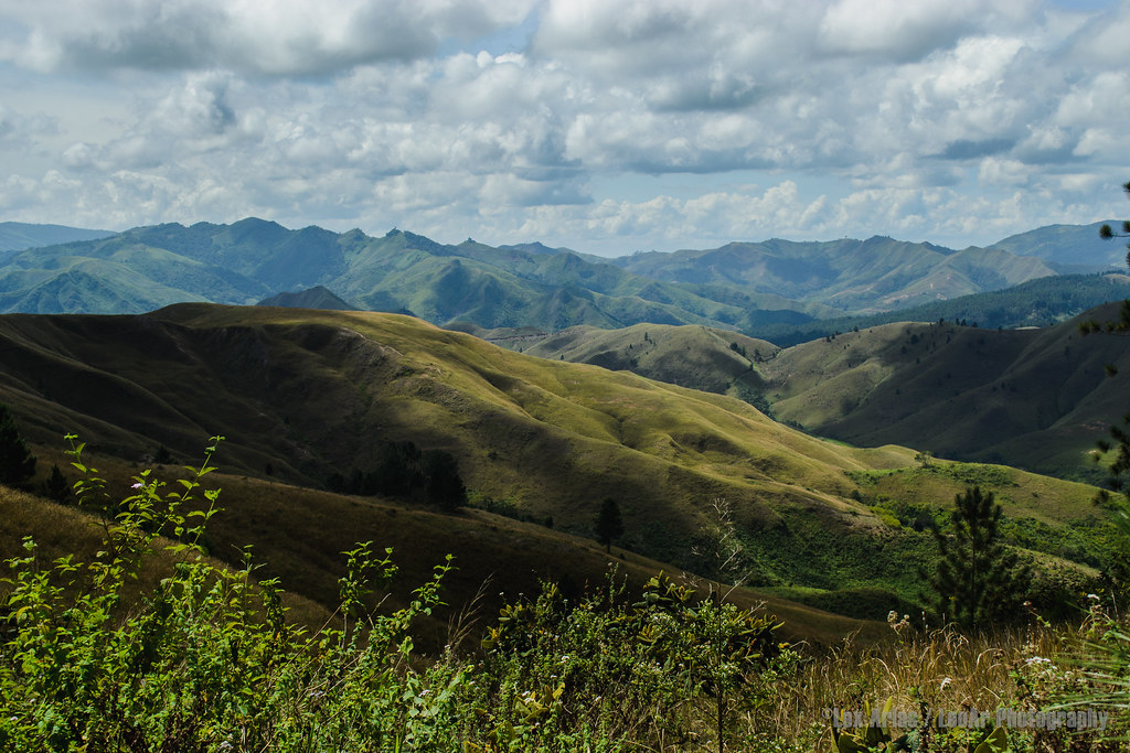
The very northernmost/northeastern lowlands of the state (marked in a more intense green color on the relief maps) are the most heavily African parts of the state (municipality of Veroes, and I think Manuel Monge and Bolivar too, but not very sure), but as you move south, the population turns more into a triracial/mestizo mix very similar to the triracial/mestizo mix that we have seen in the interior parts of Aragua, Carabobo, and the Tuy Valley in Miranda.The Yaracuy state relief is extremely diverse, presenting an alternation of valleys, plains, depressions, foothills and mountains (65% of the territory). It corresponds to the sector where the Coordillera de los Andes ends, and the Coordillera de la Costa begins, a sector that is occupied by three well-differentiated formations, the Macizo de Nirgua, the Sierra de Aroa and that of Bobare, the three separated from each other by the Yaracuy Turbio depression and the Aroa River Valley.
The Nirgua Massif formed by a group of foothills that are linked to the coastal range, has its culminating point at Cerro la Copa (1810 m). The Sierra de Aroa, located in the central part and oriented in a southwest–northeast direction, divides the two main depressions and has its highest point at Cerro el Tigre (1780 m). The Sierra de Bobare separates Yaracuy from Falcón.
Thread opened...
Last edited by alnortedelsur; 09-14-2023 at 05:26 AM.
My Updated 23andme Results (2021)
My Updated AncestryDNA Results (2022)
My Global25 Coordinates (2020)
An Epic Thread about me opened by Profield
Please don't ask me for classifications by PMOriginally Posted by Profileid

| Thumbs Up/Down |
| Received: 20,147/383 Given: 38,422/1,574 |
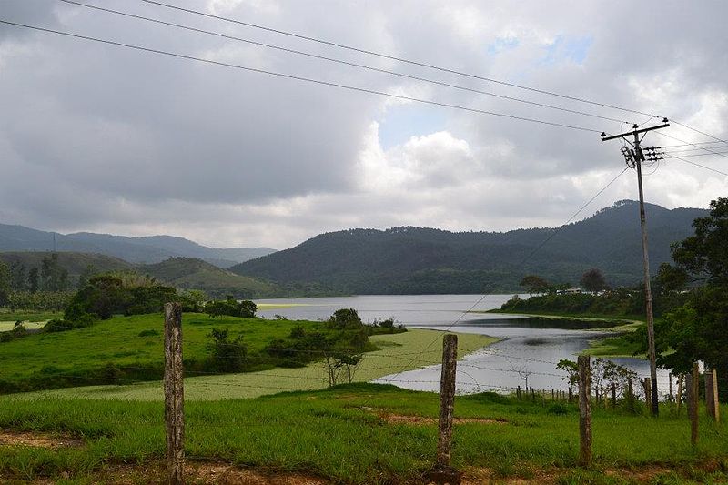
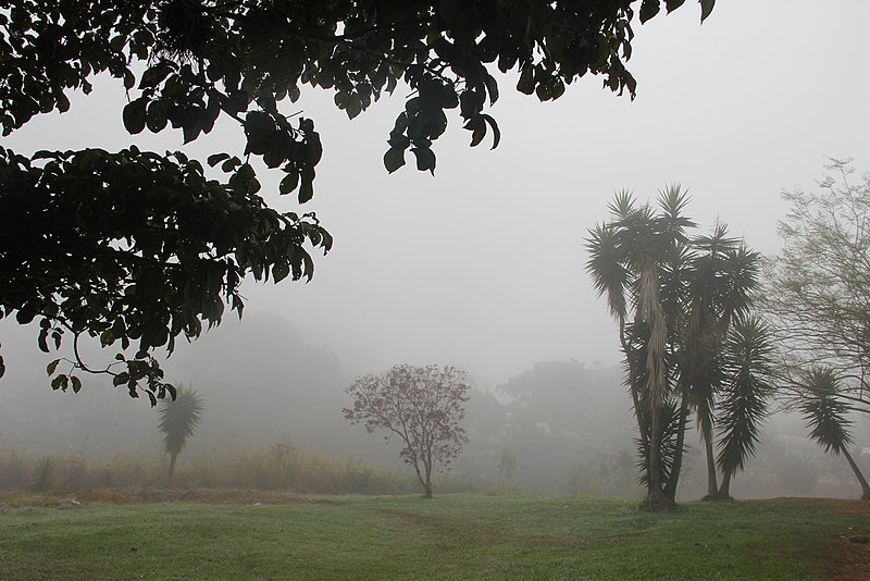
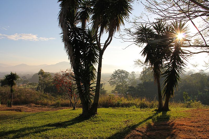
Algunos paisajes del estado yaracuy...
Pozo del diamante, ubicado en la sierra de Aroa:
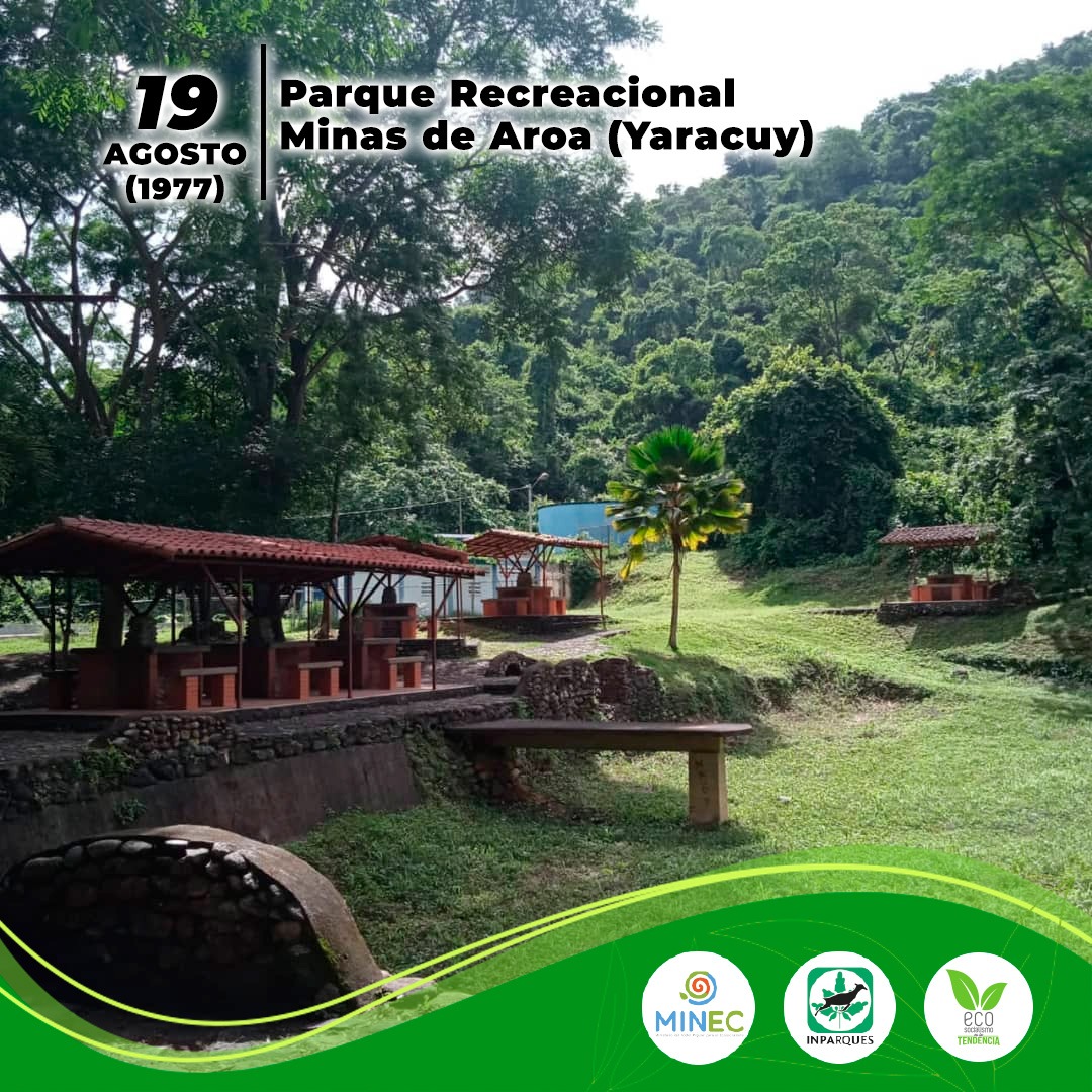
Parque recreacional Minas de Aroa, en el municipio Bolivar, cerca de la localidad de Aroa (donde estaban unas minas de cobre que eran propiedad de Bolivar):
Guama, un pequeño pueblo en la depresion central del estado, en el municipio Sucre, a pocos kilometros al suroeste de San Felipe:
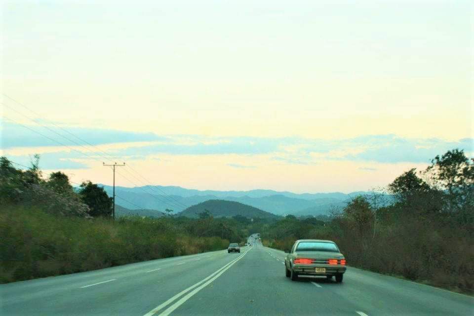
Caretera que comunica Valencia (Carabobo) con Baquisimeto (Lara), atravesando el estado Yaracuy, en su paso cerca de Nirgua, Yaracuy (en pleno macizo de Nirgua, al sureste del estado):
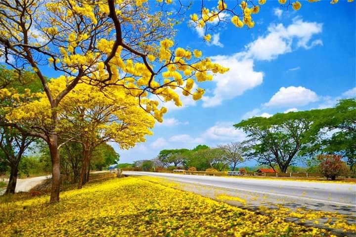
Carretera cerca de San Felipe (capital del estado), ese arbol amarillo es el Araguaney, arbol nacional de Venezuela:
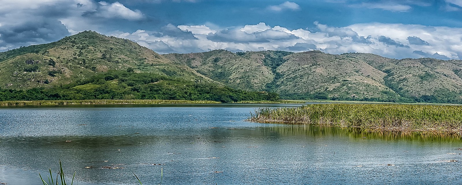
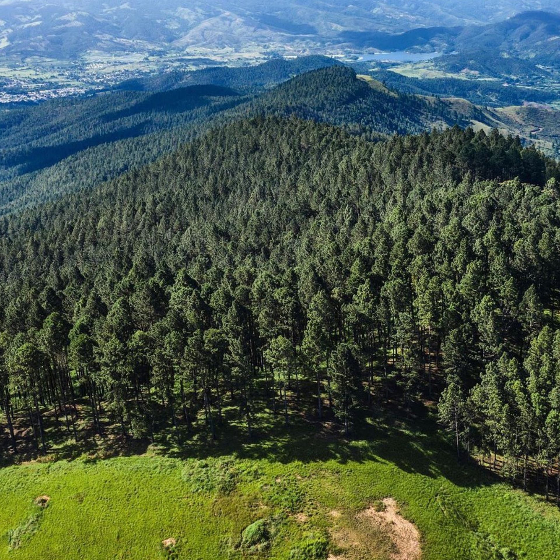
Represa Cabuy, tambien en el municipio Nirgua, que ocupa el macizo de Nirgua, al sureste de Yaracuy:
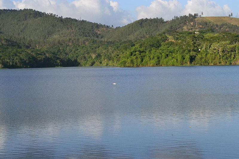
Embalse de Cumaripa y parque nacional del mismo nombe alrededor de ese embalse. Se encuentra a unos 200 msnm, en la depresion central, aunque al pie de la sierra de Nirgua, y cerca del pueblo de Chivacoa:
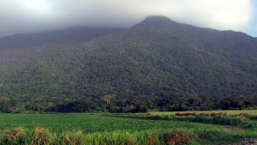
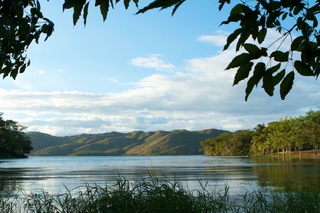
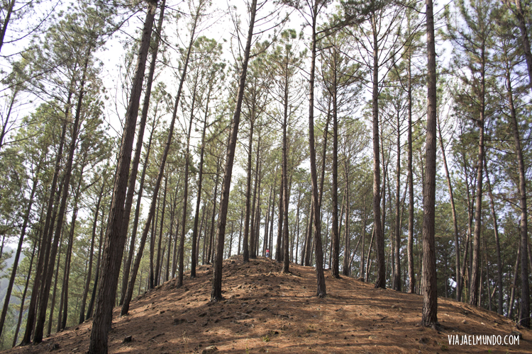
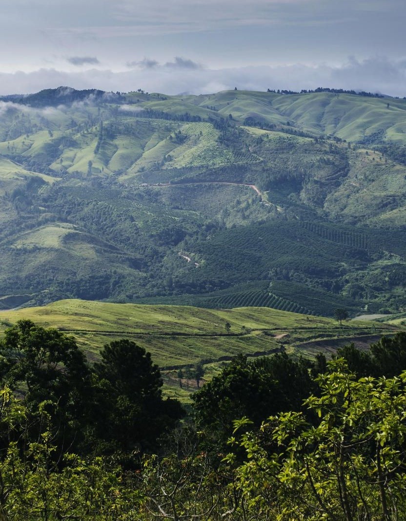
Algunos paisajes de la sierra de Nirgua (tambien conocida como macizo de Nirgua, o nudo de Nirgua), en el municipio Nirgua, al sureste del estado:
En este estado se encuentra la famosa montaña de sorte (en el extremo mas suroccidental de la sierra de Nirgua) donde se celebra el culto de Maria Lionza (supongo que alguno de ustedes habran oido algo al respecto):
Last edited by alnortedelsur; 09-14-2023 at 07:28 AM.
My Updated 23andme Results (2021)
My Updated AncestryDNA Results (2022)
My Global25 Coordinates (2020)
An Epic Thread about me opened by Profield
Please don't ask me for classifications by PM
| Thumbs Up/Down |
| Received: 20,147/383 Given: 38,422/1,574 |
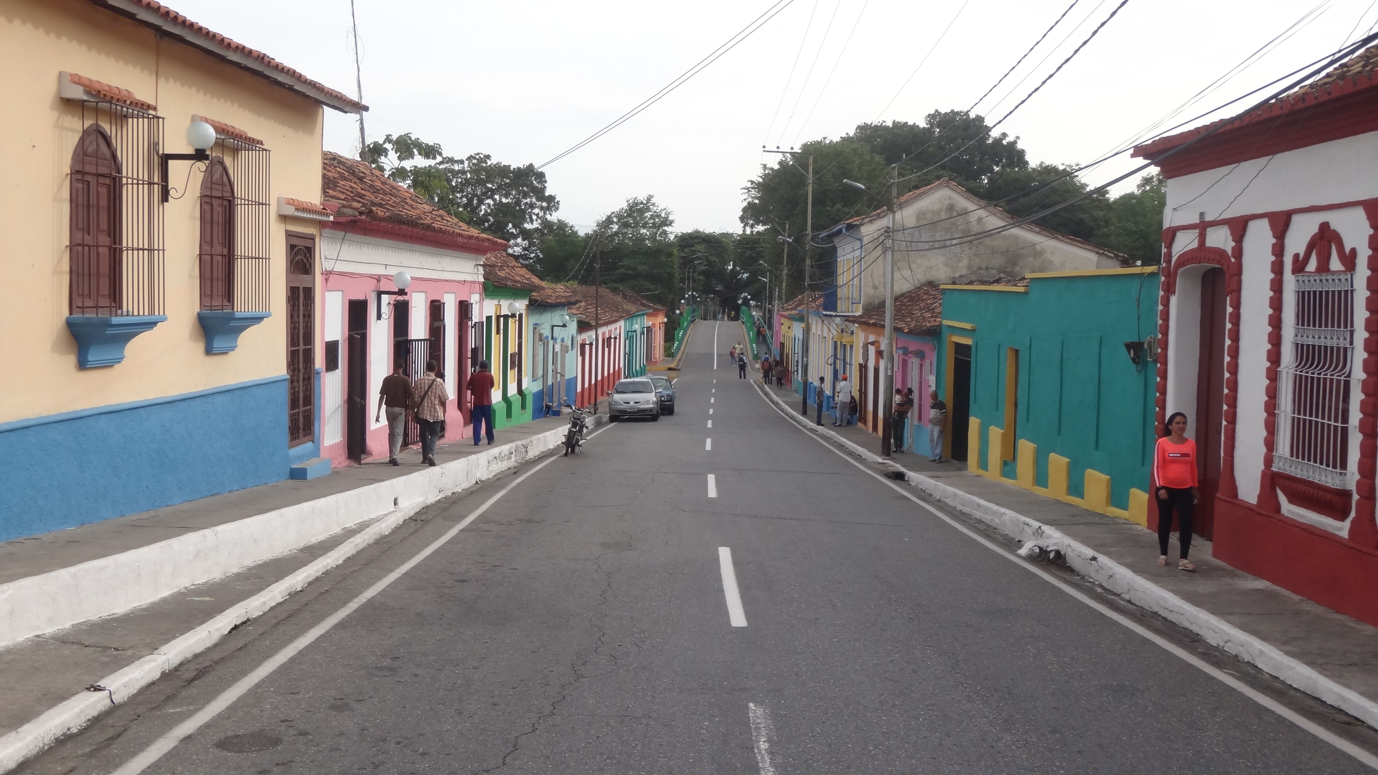
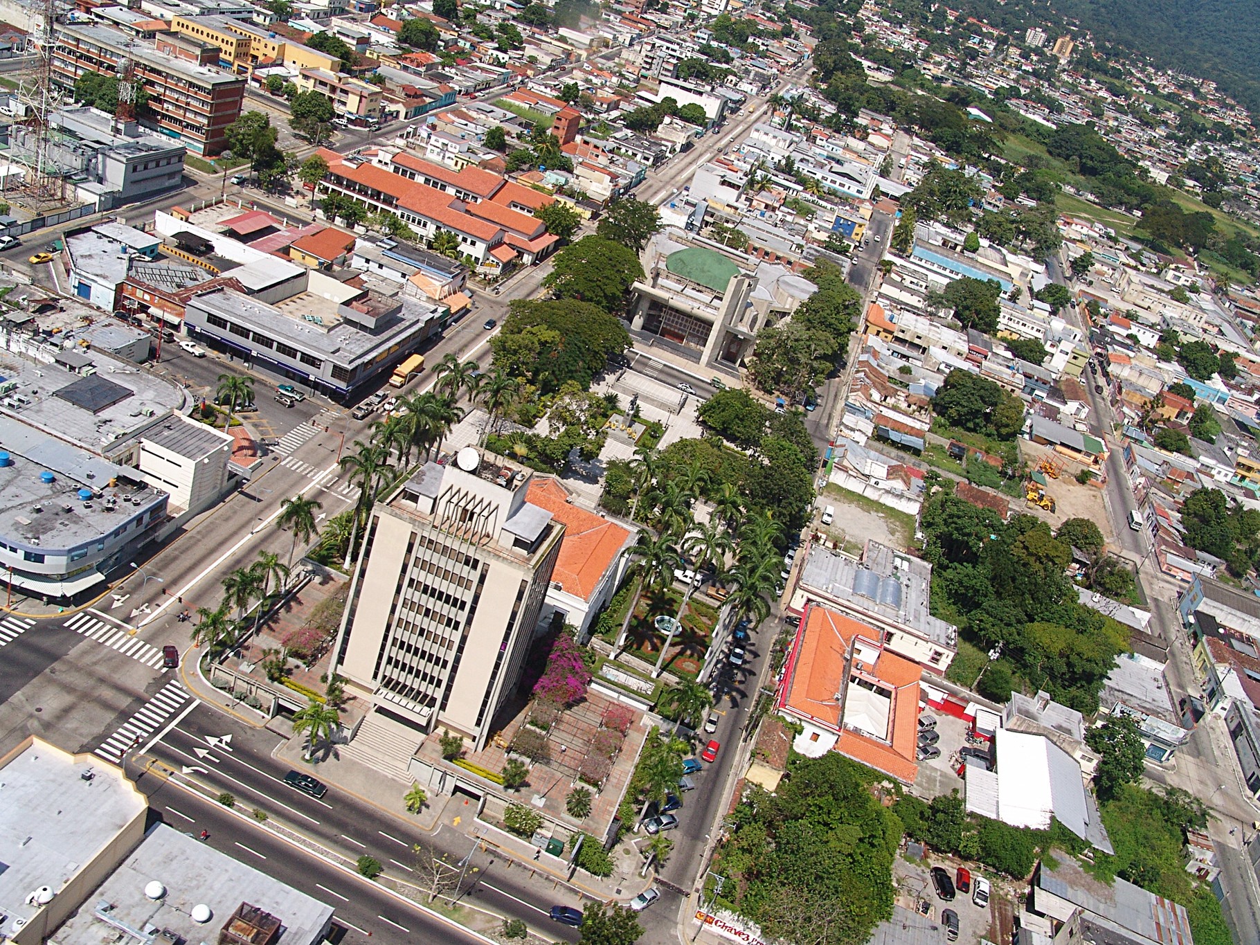
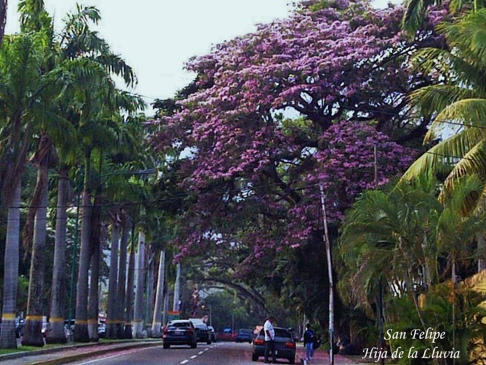
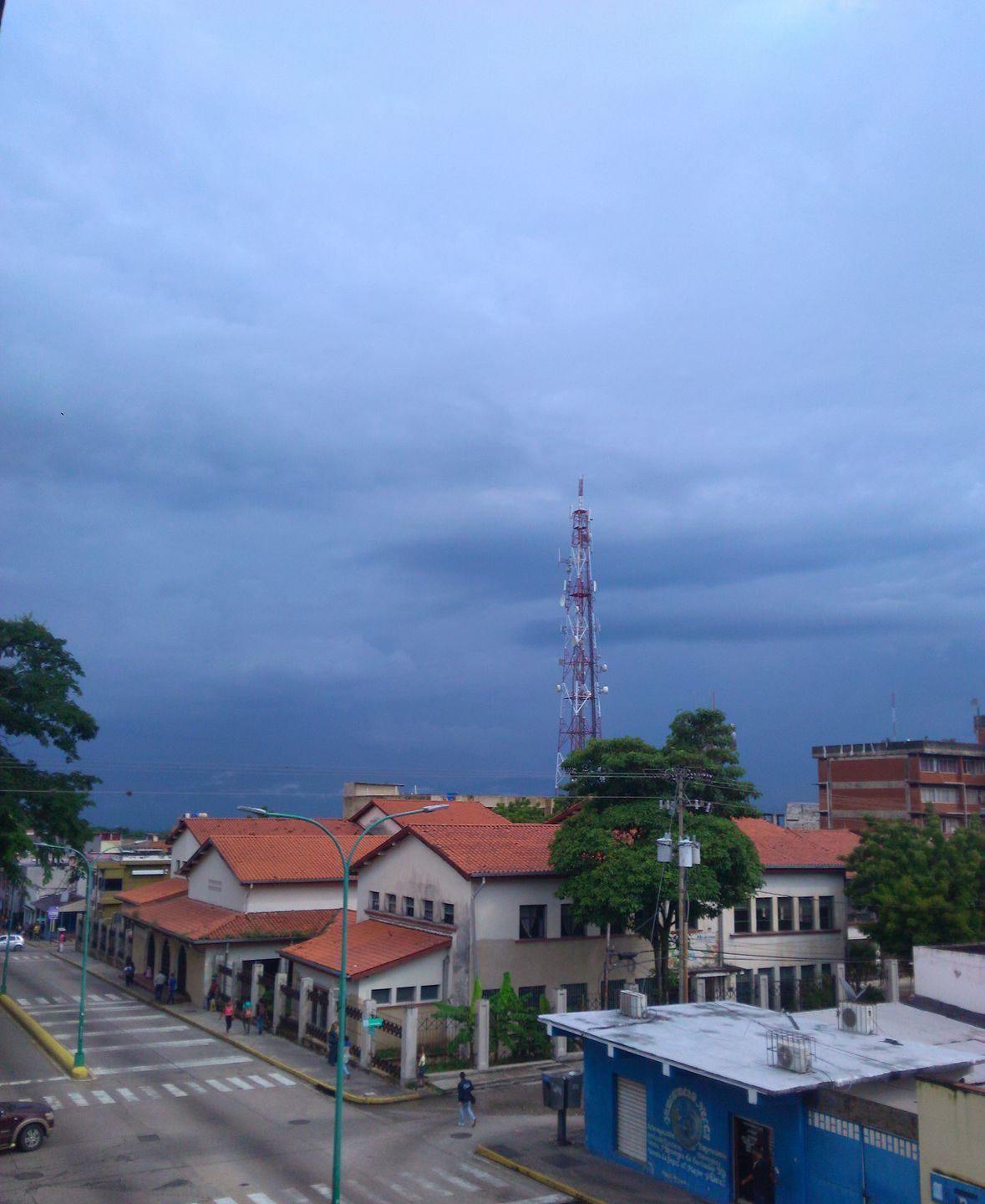
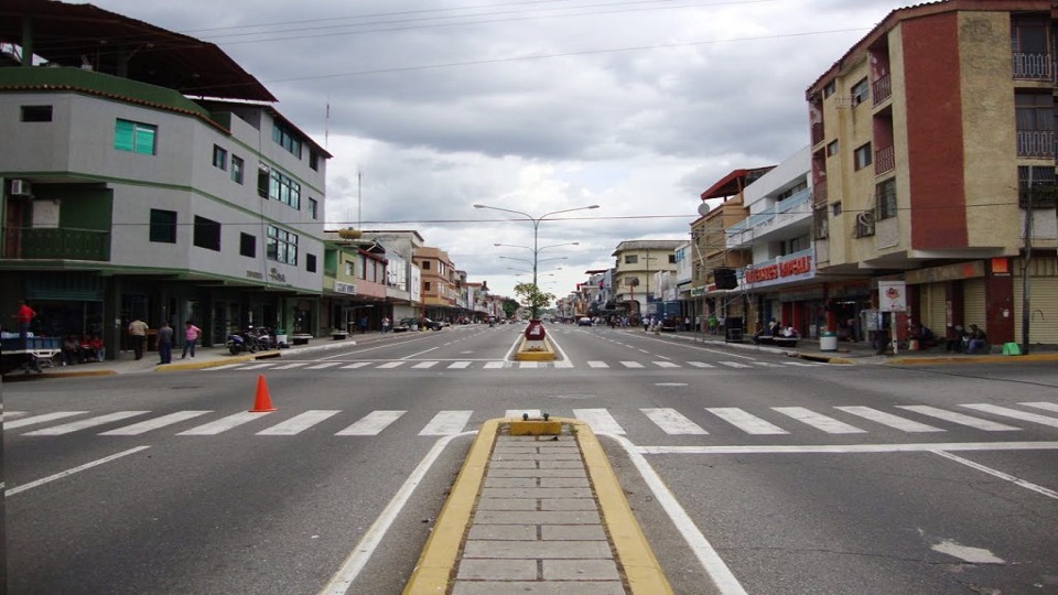
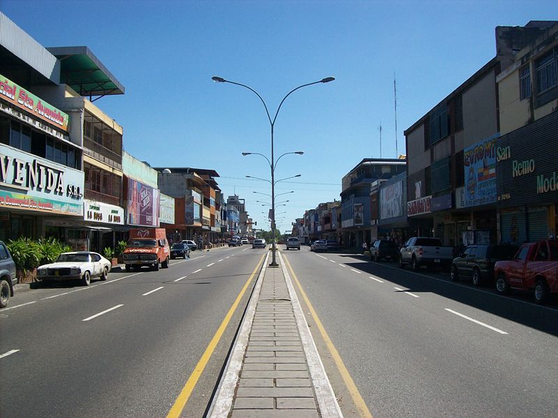
Algunas tomas de San Felipe, capital estatal. San Felipe (cerca de 250,000 habitantes) se encuentra en la depresion central, en las faldas de la sierra de Aroa, y aunos 250 msnm:
Es una ciudad bastante modesta, comparada con grandes ciudades como Caracas, Maracay, Valencia, Barquisimeto, Maracaibo, etc., aunque tiene su encanto.
Fotos y videos mostrando gente, a partir de los siguientes posts...
My Updated 23andme Results (2021)
My Updated AncestryDNA Results (2022)
My Global25 Coordinates (2020)
An Epic Thread about me opened by Profield
Please don't ask me for classifications by PM
| Thumbs Up/Down |
| Received: 20,147/383 Given: 38,422/1,574 |
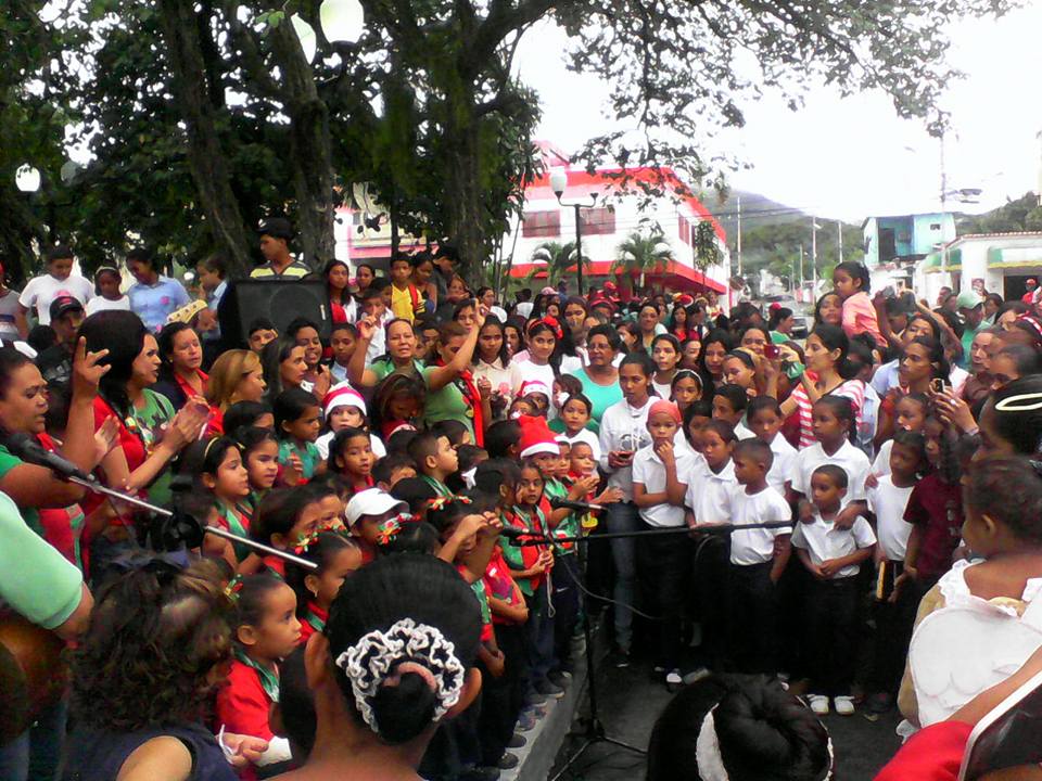
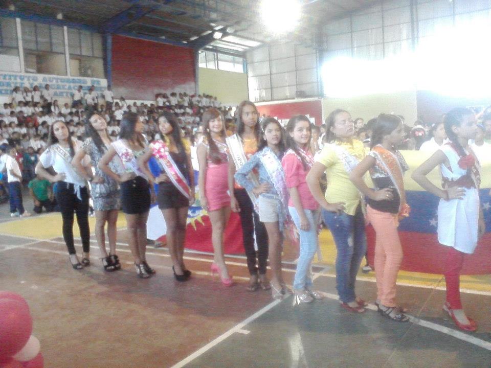
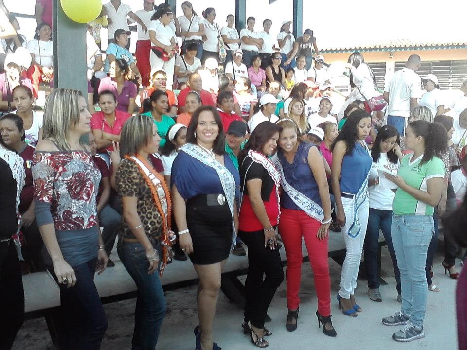
Como ya es muy tarde, empezare solo mostrando unas pocas fotos (4 para ser exactos) de gente de San Felipe, Yaracuy.
I'm just going to start for now, with some few pics (only 4) of people from San Felipe, the state capital:
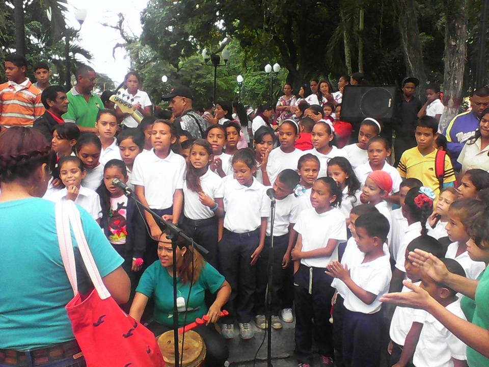
No se si esto pasa en vuestros paises o no, pero en Venezuela, no solo cada estado tiene su propio himno, escudo y bandera, sino que tambien los diferentes municipios dentro de cada estado tienen sus propios himnos, escudos y banderas, lol. Himno del municipio San Felipe, cantado por alumnos de una escuela en San Felipe, Yaracuy:
Last edited by alnortedelsur; 09-14-2023 at 08:21 AM.
My Updated 23andme Results (2021)
My Updated AncestryDNA Results (2022)
My Global25 Coordinates (2020)
An Epic Thread about me opened by Profield
Please don't ask me for classifications by PM


| Thumbs Up/Down |
| Received: 27,748/808 Given: 45,099/401 |
Algunas de las chicas son bastante bonitas.
| Thumbs Up/Down |
| Received: 20,147/383 Given: 38,422/1,574 |
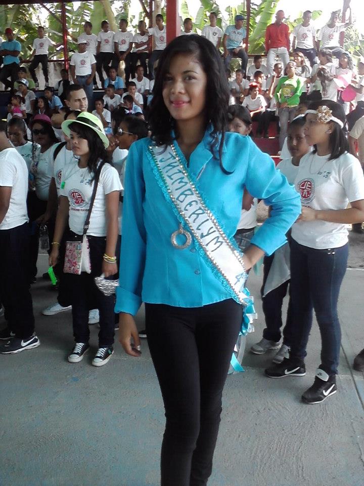
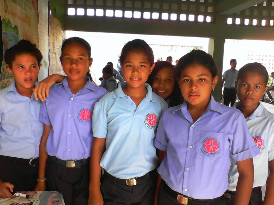
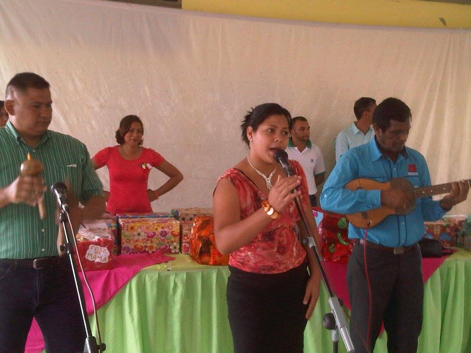
Localizacion del municipio Jose Antonio Paez, al suroeste del estado Yaracuy (en la depresion en diagonal intermedia, entre la sierra de Aroa y la sierra de Nirgua):
Su capital, es Sabana de Parra (33,539 segun censo del 2011, pero con la migración masiva quedan aproximadamente 11,000 habitantes, altitud media: 420 msnm).
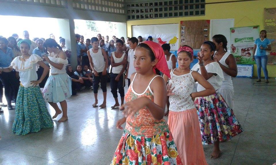
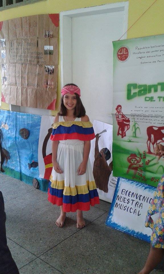
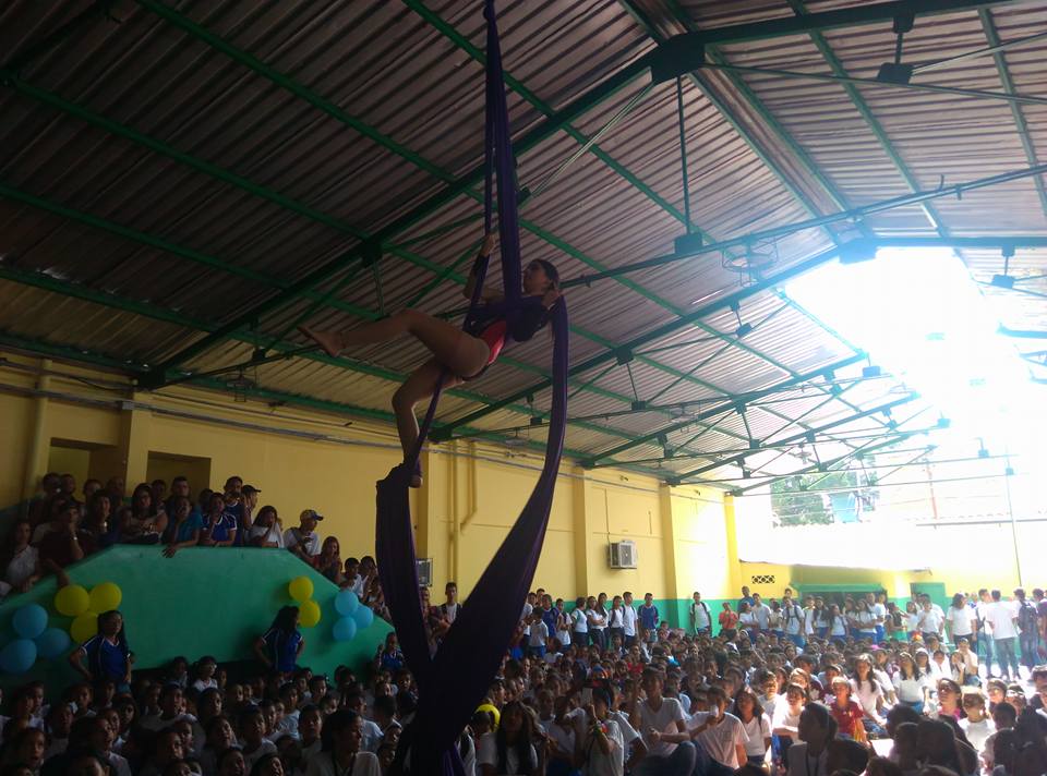
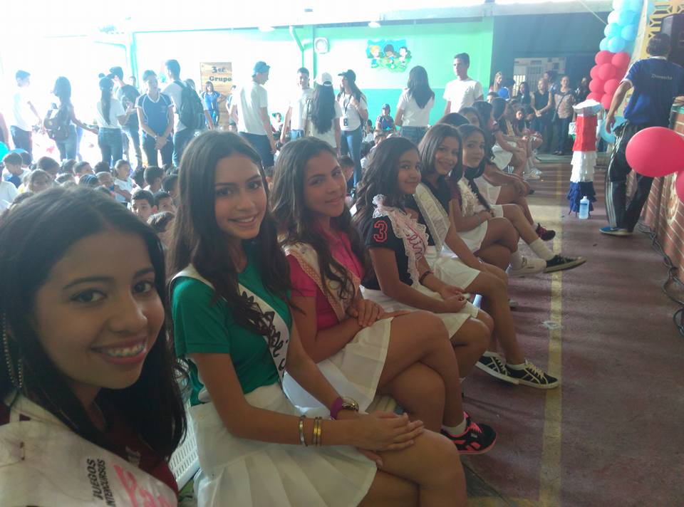
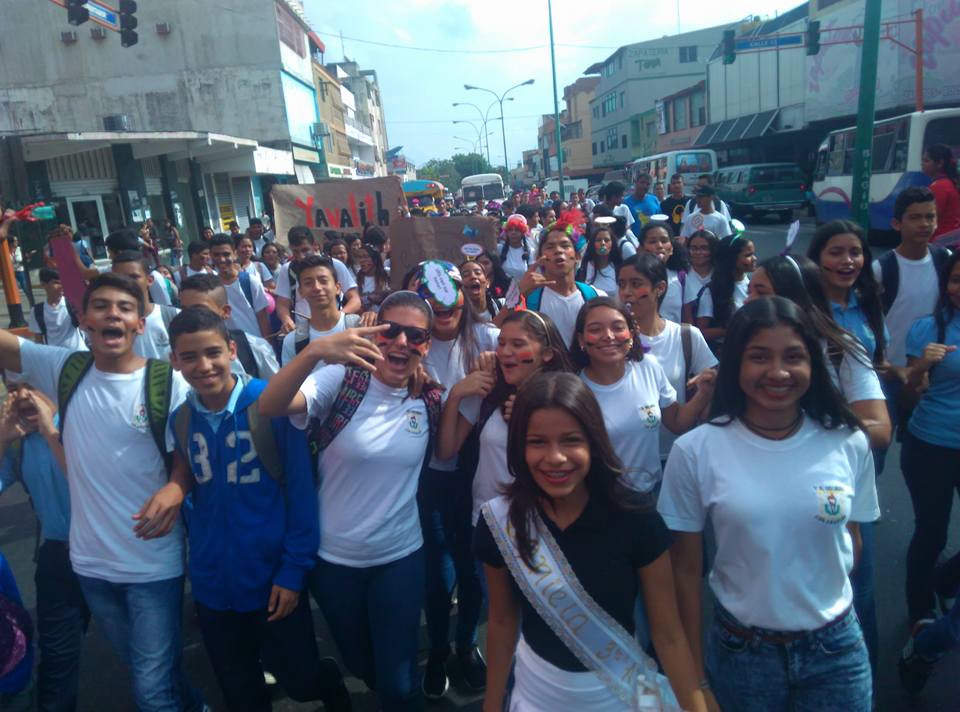
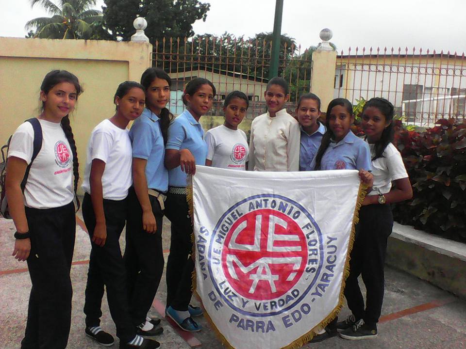
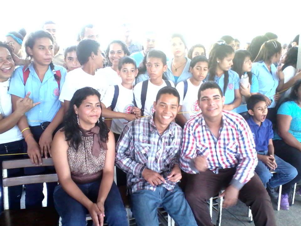
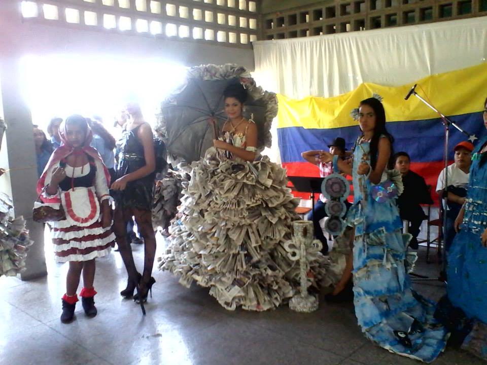
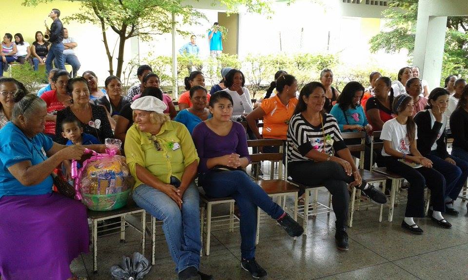
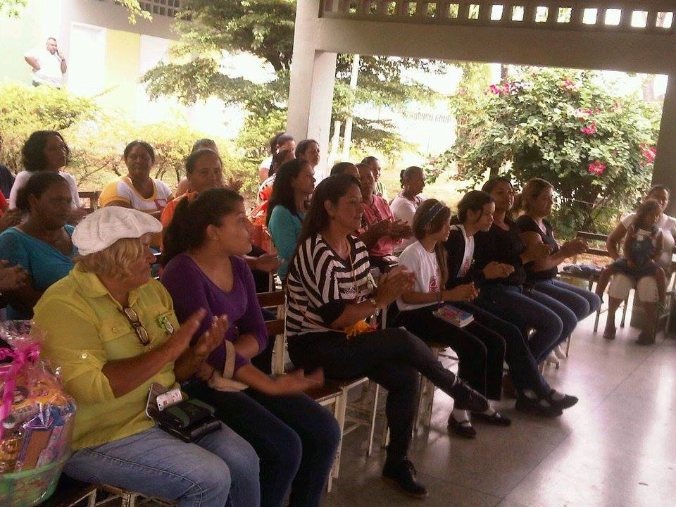
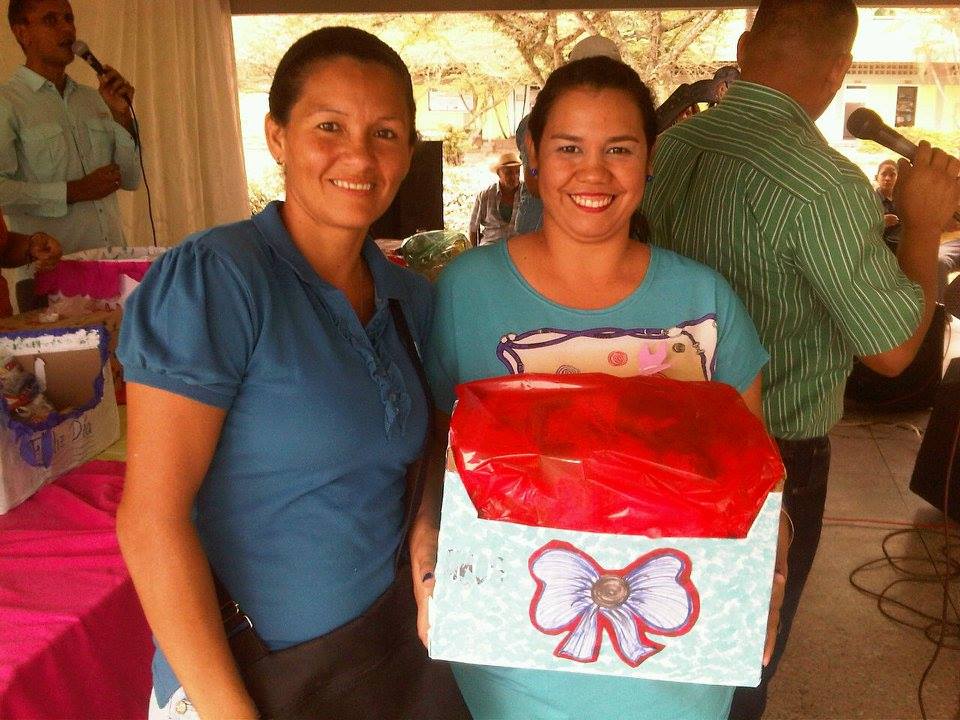
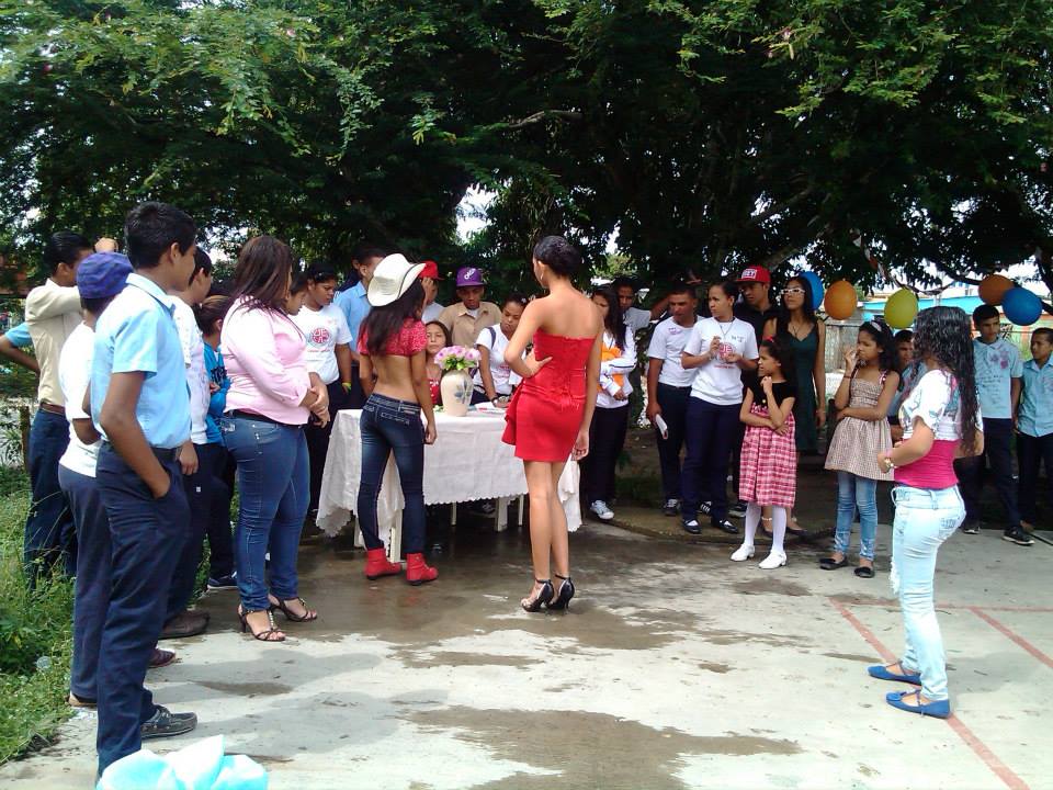
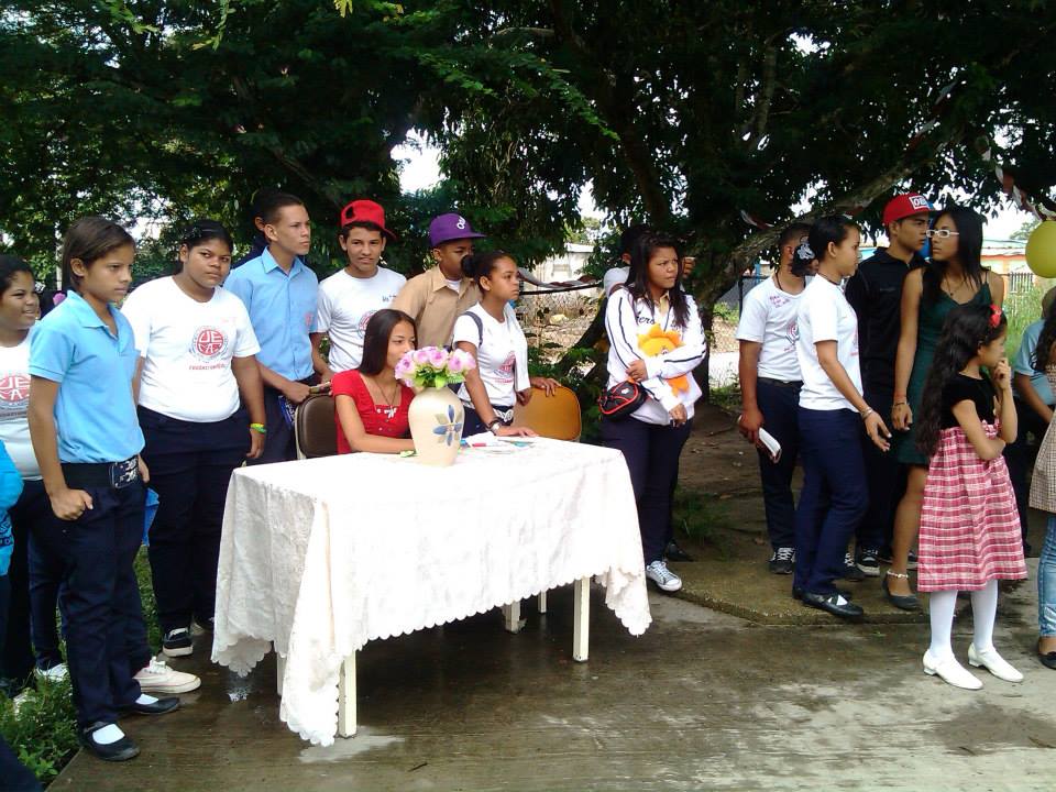
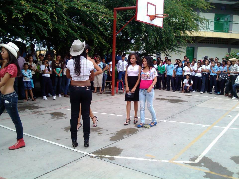
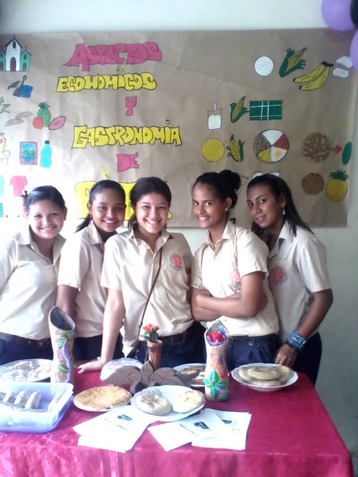
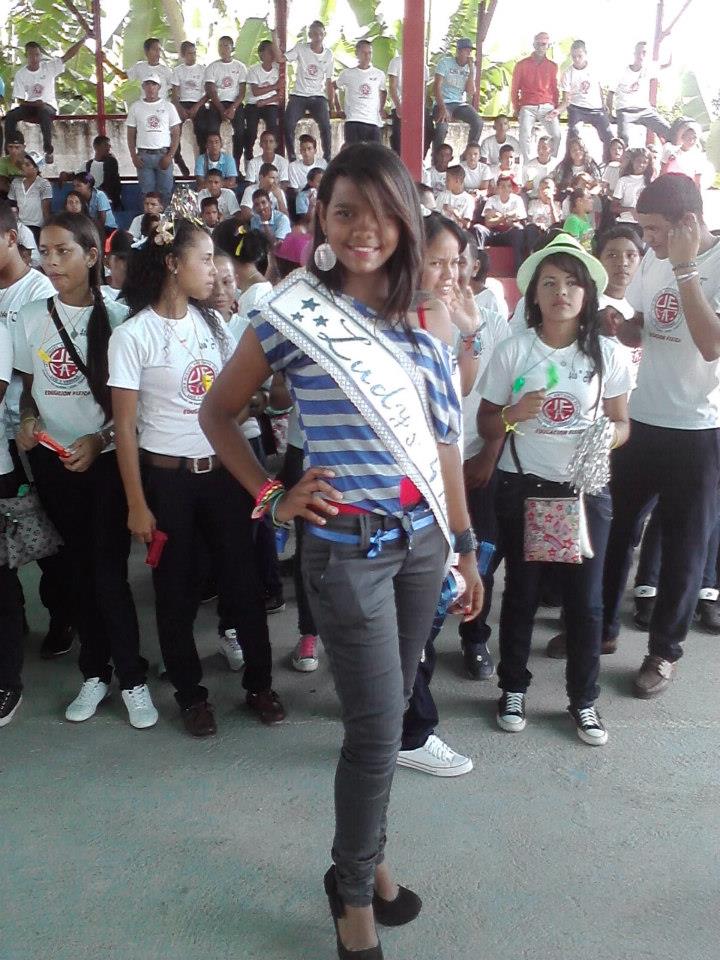
Las siguientes tandas de fotos son del colegio Miguel Antonio Flores, ubicado en Sabana de Parra:
Last edited by alnortedelsur; 09-16-2023 at 01:37 AM.
My Updated 23andme Results (2021)
My Updated AncestryDNA Results (2022)
My Global25 Coordinates (2020)
An Epic Thread about me opened by Profield
Please don't ask me for classifications by PM
| Thumbs Up/Down |
| Received: 20,147/383 Given: 38,422/1,574 |
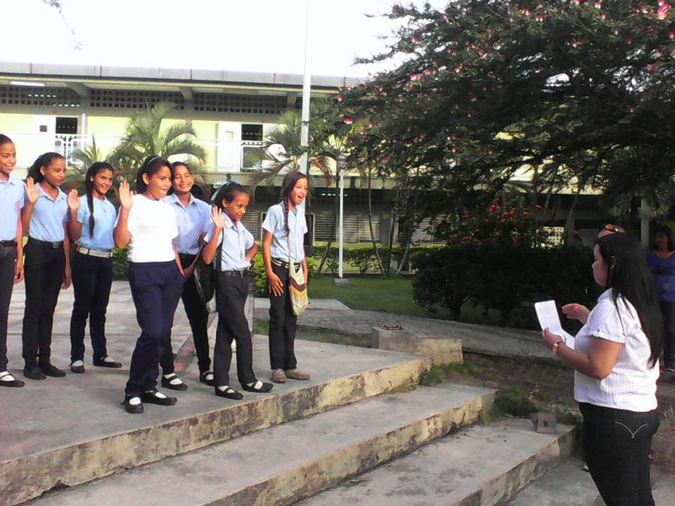
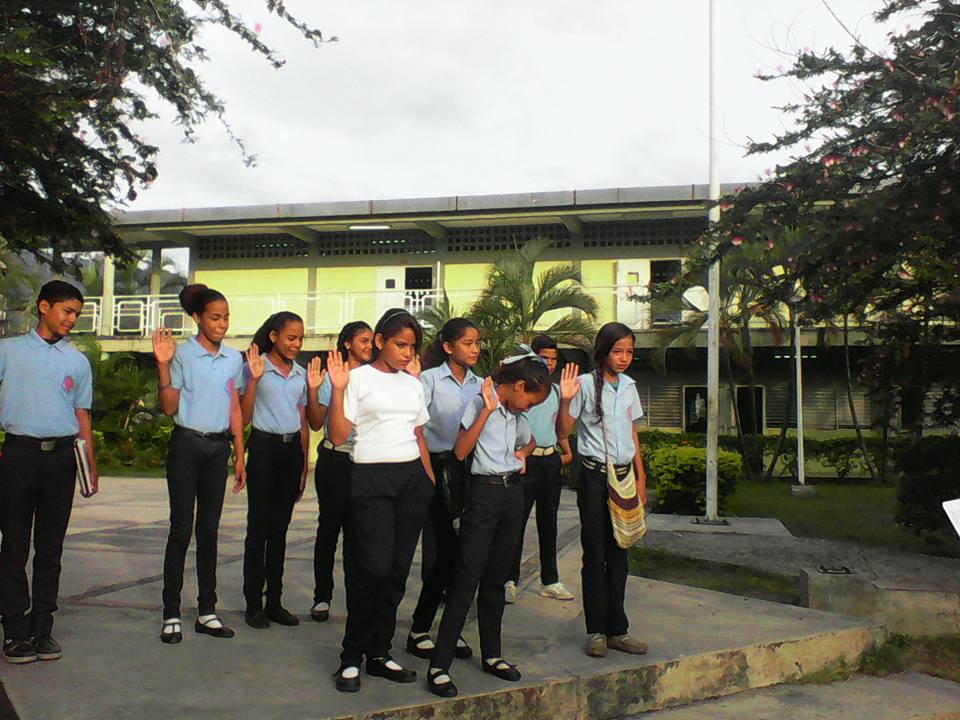
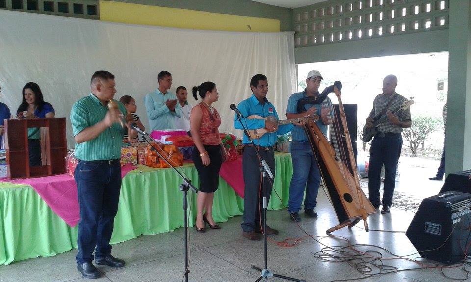
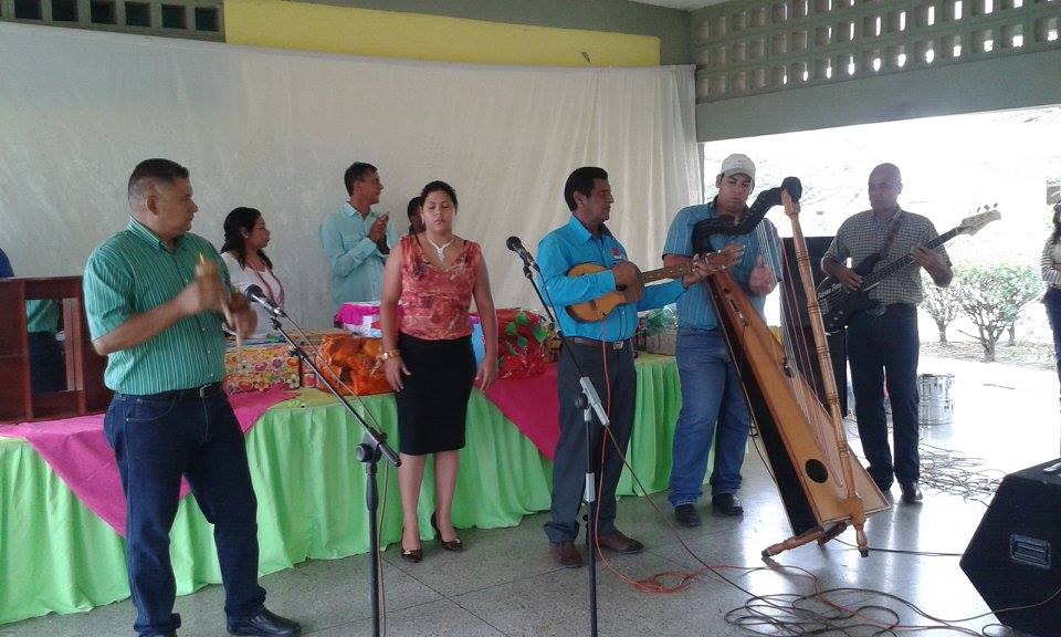
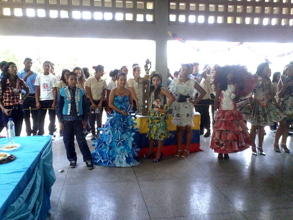
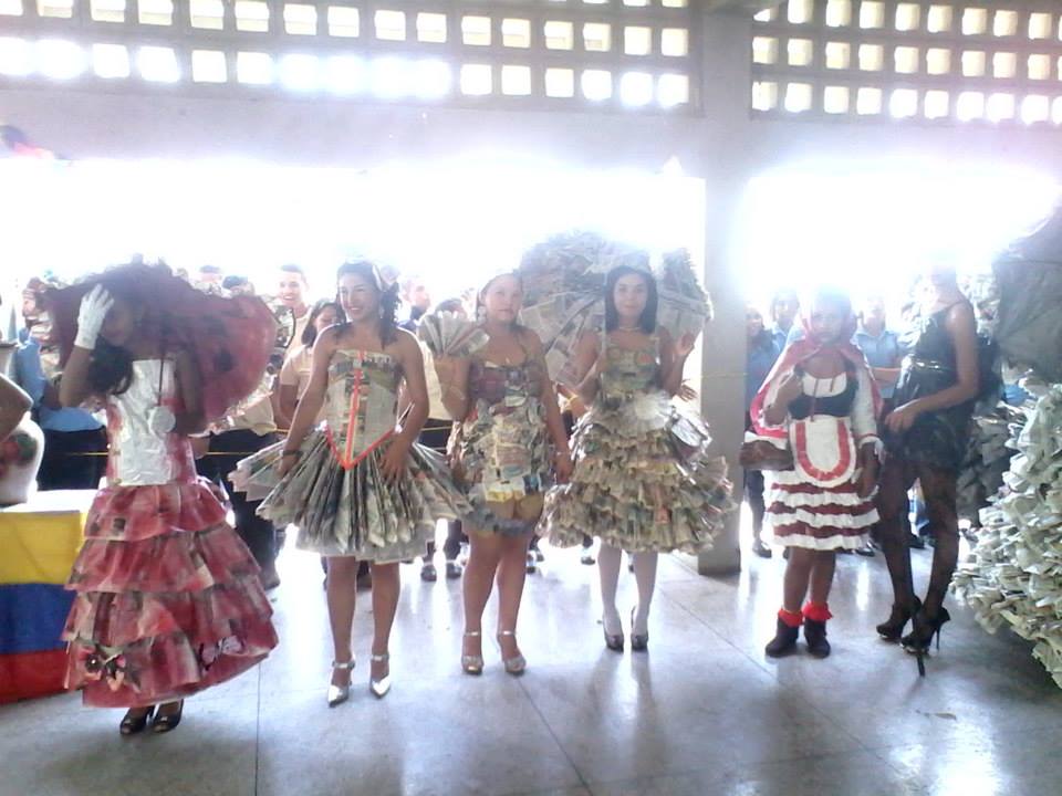
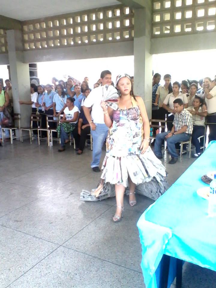
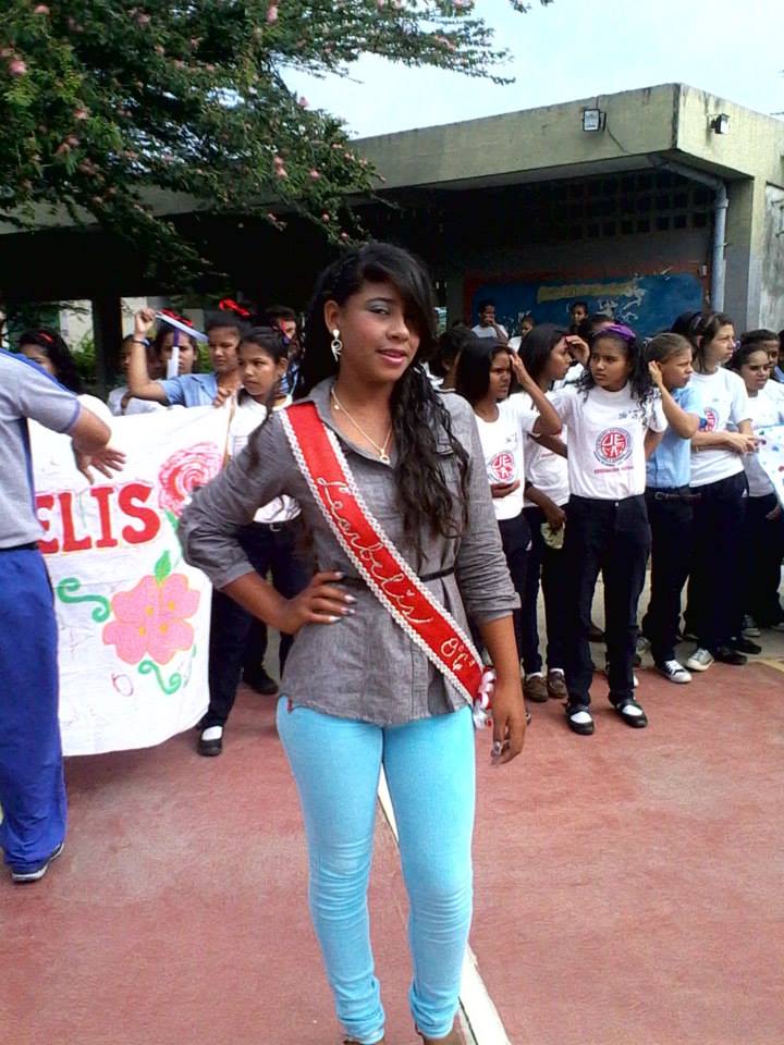
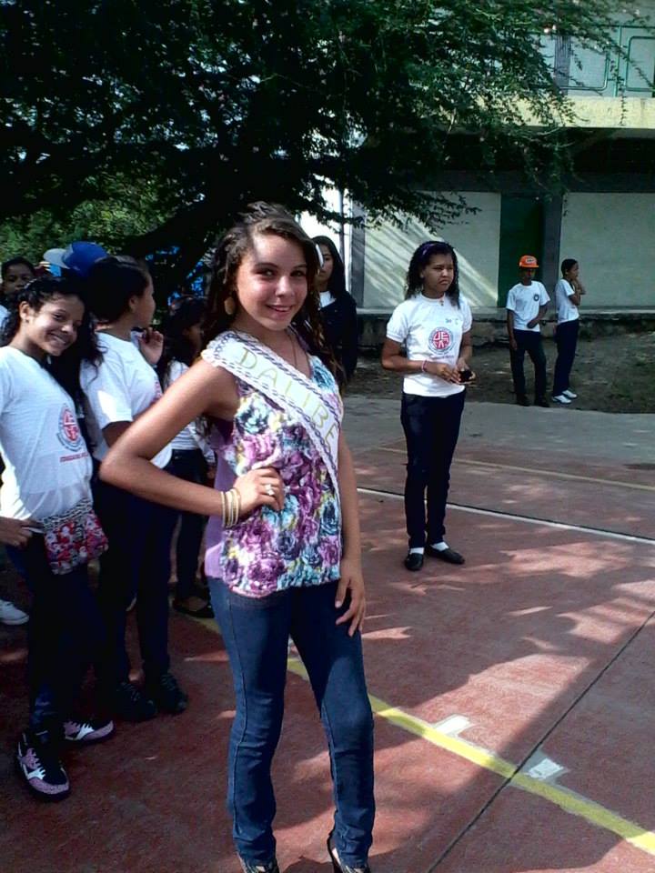
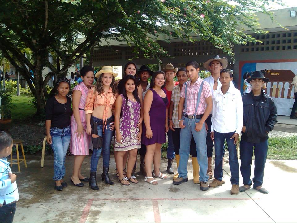
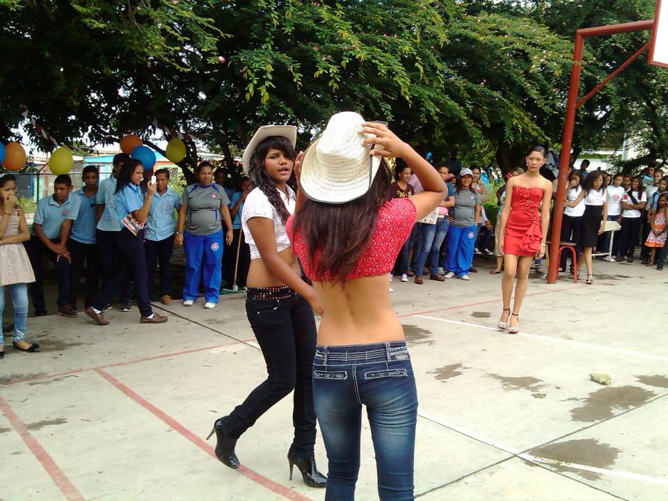
Continuando con el colegio Miguel Antonio Flores, en la localidad de Sabana de Parra, municipio Jose Antonio Paez, estado Yaracuy:
Last edited by alnortedelsur; 09-15-2023 at 07:06 AM.
My Updated 23andme Results (2021)
My Updated AncestryDNA Results (2022)
My Global25 Coordinates (2020)
An Epic Thread about me opened by Profield
Please don't ask me for classifications by PM
| Thumbs Up/Down |
| Received: 20,147/383 Given: 38,422/1,574 |
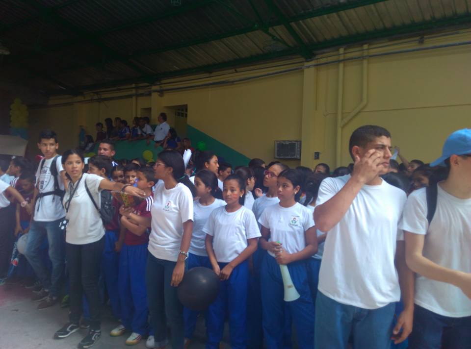
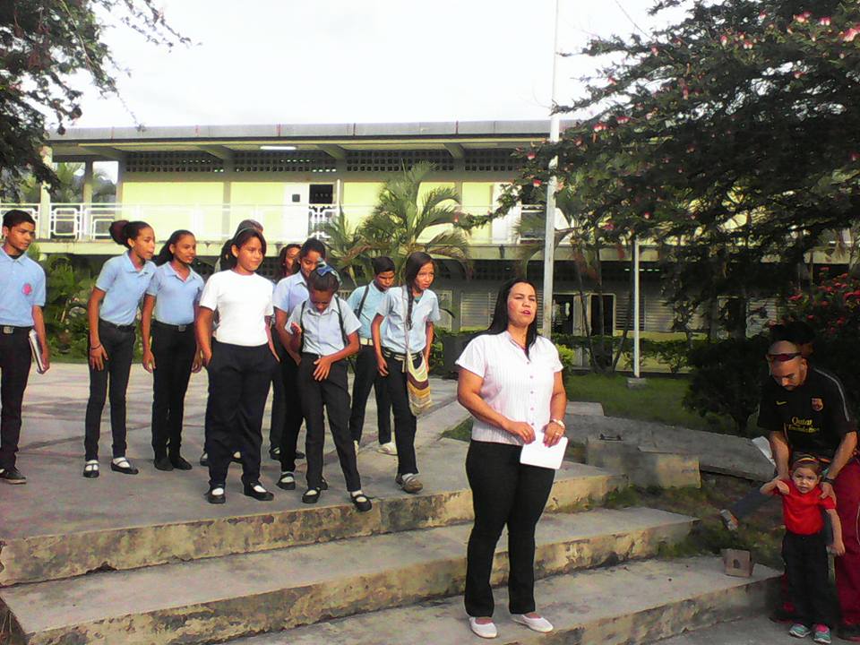
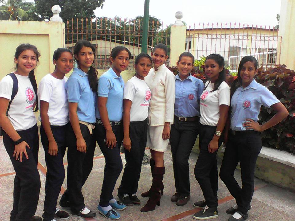
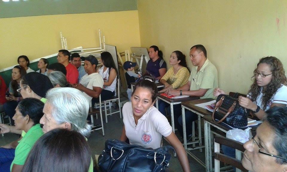
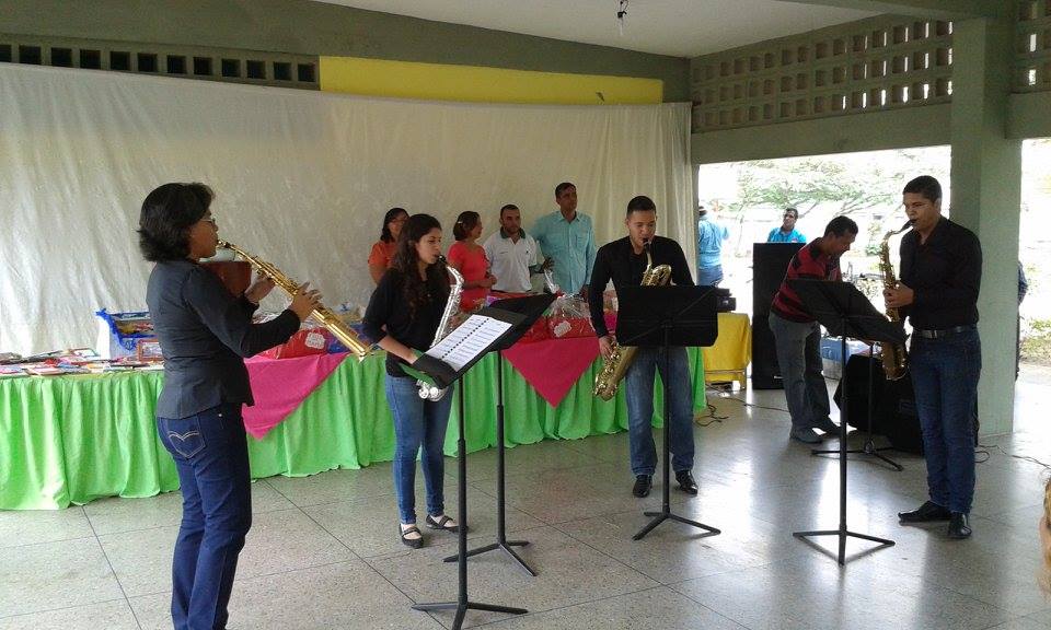
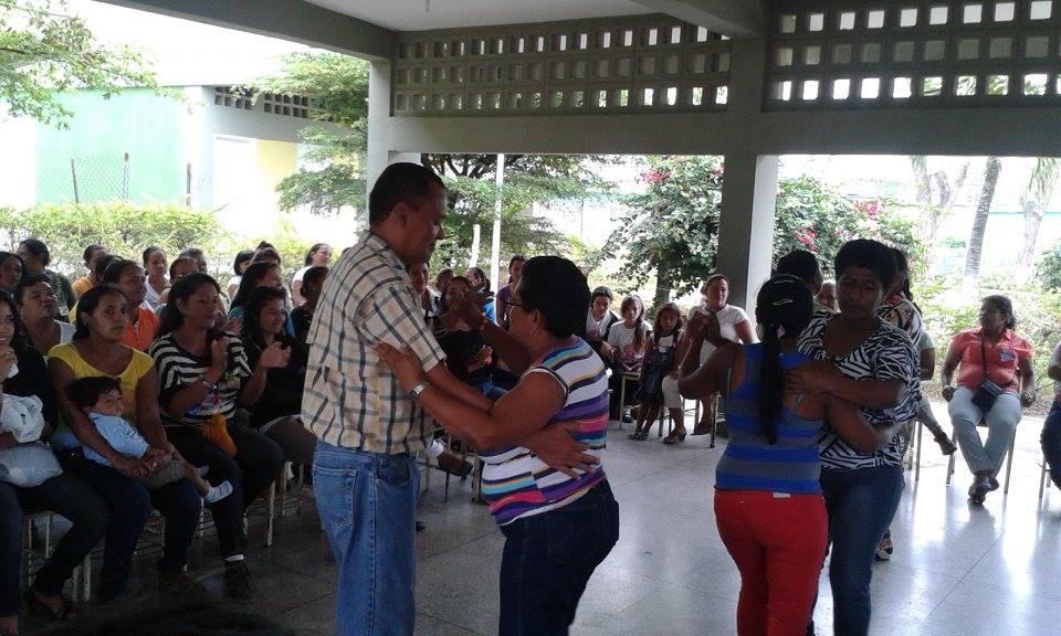
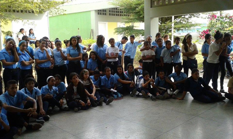
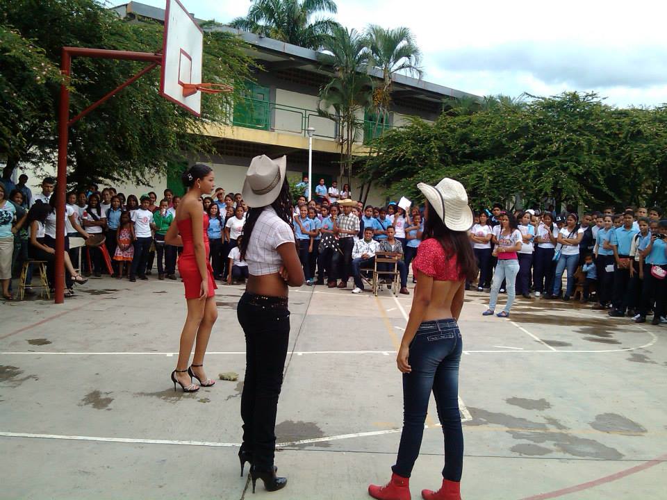
Mas fotos del colegio Miguel Antonio Flores, Sabana de Parra, municipio Jose Antonio Paez, estado Yaracuy:
Last edited by alnortedelsur; 09-15-2023 at 07:06 AM.
My Updated 23andme Results (2021)
My Updated AncestryDNA Results (2022)
My Global25 Coordinates (2020)
An Epic Thread about me opened by Profield
Please don't ask me for classifications by PM
| Thumbs Up/Down |
| Received: 20,147/383 Given: 38,422/1,574 |
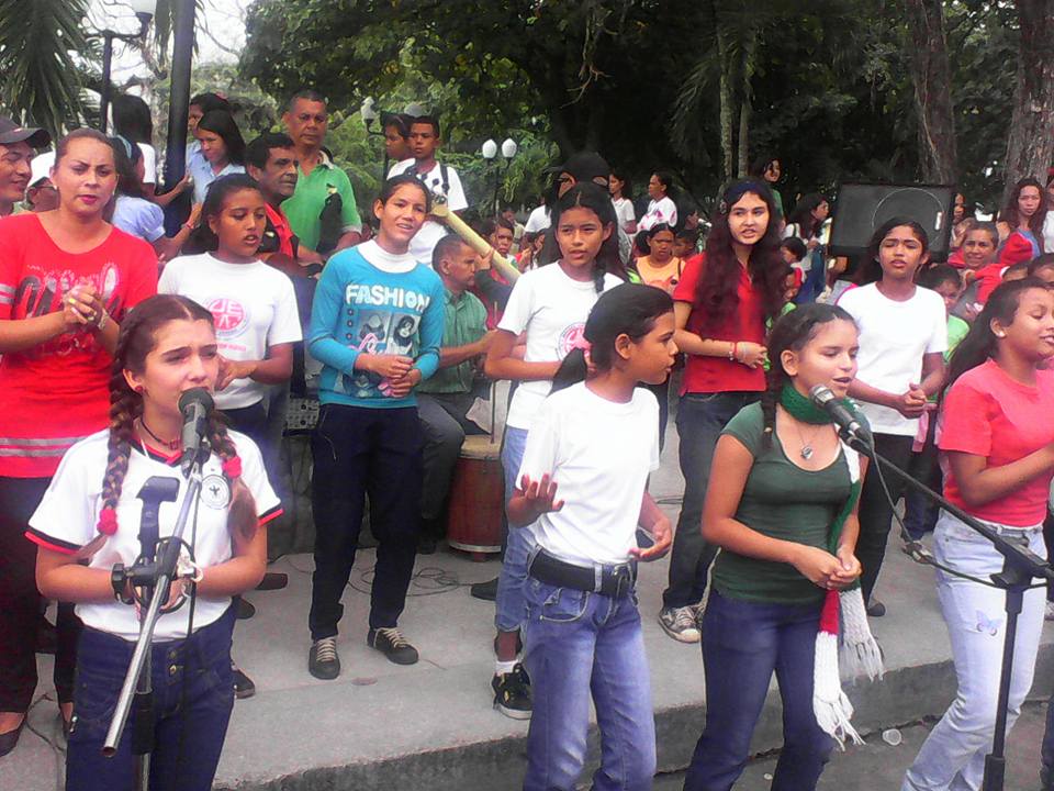
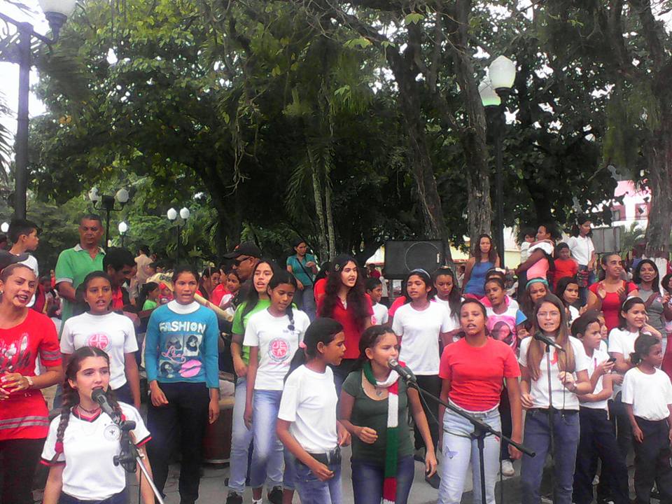
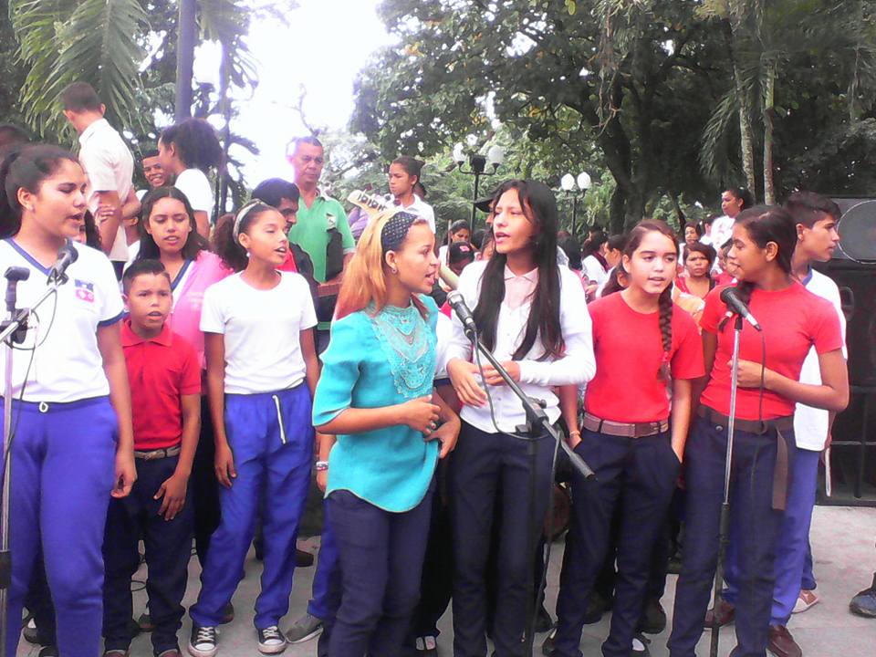
Posteando un par videos, mas que nada para rematar la pagina, porque voy a seguir posteando fotos del mismo colegio, pero no quiero hacerlo al final de pagina...
Coro Infantil y Juvenil Manos Blancas, nucleo Yaritagua. Yaritagua (150,000 abitantes aproximadamente, 400 msnm) es la capital del municipio Peña, al suroeste del estado Yaracuy. Este municipio hace frontera con el estado Lara, y su capital Yaritagua, esta ya muy cerca (27 Kms, 24 minutos) por carretera, de Barquisimeto (la capital del estado Lara):
Last edited by alnortedelsur; 09-15-2023 at 08:24 PM.
My Updated 23andme Results (2021)
My Updated AncestryDNA Results (2022)
My Global25 Coordinates (2020)
An Epic Thread about me opened by Profield
Please don't ask me for classifications by PM
| Thumbs Up/Down |
| Received: 20,147/383 Given: 38,422/1,574 |
-----------------------------------------------------------
My Updated 23andme Results (2021)
My Updated AncestryDNA Results (2022)
My Global25 Coordinates (2020)
An Epic Thread about me opened by Profield
Please don't ask me for classifications by PM
There are currently 1 users browsing this thread. (0 members and 1 guests)
 Latin America
Latin America
Latin America
Latin America
Latin America
Latin America
Latin America
Latin America
Latin America
 Posting Permissions


 Reply With Quote
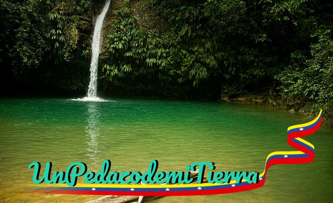


Bookmarks